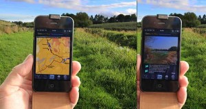
App in use – location shown on geology/trail map and displaying closest matching photo of location
Each of the 17 sections of the Geopark Way now has a dedicated app available for smart-phones and tablets. Each app has a map of the relevant section overlain on an interactive geology map. Using GPS you get your position and a feed of data about the geology and other information as you walk. Other information’ includes photos of the walk with directional guidance, 3D cross-sections, and interpretations of past environments.
For Android devices you can install them on your phone/tablet from the Google Play store (quick link). For Apple devices install them from the Apple App Store.
The apps for 3 of the sections are free, the rest have a charge of around £1.
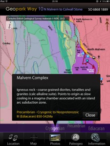
Rock information for current location or where map has been touched
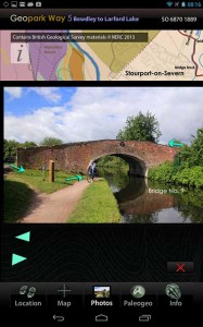
Trail photo with direction overlay
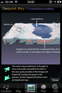
Reconstructions of past environments and geological cross-sections
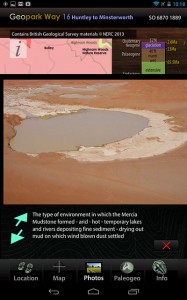
Interpretation of an ancient environment
