Hartlebury Common
Geological overview
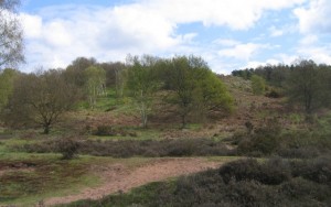
The majority of the Common is underlain by loose, beach-like sand. The sand is believed to have formed as Britain was coming out of the last ice age (beginning around 10,000 years ago) during a cold tundra period (ice desert). Strong winds blew up the sand from exposed river terraces west and south-west of Stourport, and deposited spreads of it on the flanks of the Stour Valley. It is possible that the sand used to cover a wider area, however changing conditions and human activity may have played a part in restricting its spread to its present locations. The sand has created a rare inland dry dwarf scrub heathland, with many species of rare plants. In addition, an old, peat infilled channel of the River Severn has led to the development of many mosses and spores on the surface – a unique feature in the Geopark.
Location
Hartlebury, Worcestershire; Grid Reference: SO 822 706
Access
Open along public rights of way
Geological Age
Triassic – Sherwood Sandstone Group
Quaternary
Rock Types
Sedimentary – sandstone
Unconsolidated deposits – sand and gravel
Features
River terrace deposits
Wind blown sands
Nature Reserve
Interpretation
Section 5 of the Geopark Way trail
Stourport – from gravel pits to a nature reserve (a ‘Walks For Health’ Leaflet)
