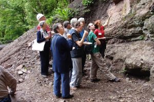
The Geopark covers nearly 800 square miles and it takes in parts of the five counties of Gloucestershire, Herefordshire, Shropshire, Staffordshire and Worcestershire. You will find outstanding geology that spans 700 million years of our Earth’s history. This, coupled with dramatic landscapes and a wealth of ecological, historical, and cultural gems, makes the Geopark a unique destination.
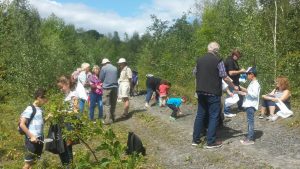
There are lots of self guided walks for you to try out. They are available most of the year at venues such as Severn Valley Country Park, Arley Arboretum, Worcester Cathedral, Hartlebury Castle, Wyre Forest and National Trust at Croome and Dudmaston. They cover natural and man-made landscapes, wildlife, geology and history.
Severn Valley Country Park …
Arley Arboretum …
There are also self-guided trails in the general landscape across the Geopark; and printed leaflets for these can be obtained from various outlets or downloaded from the website. Have a look at ‘Explore Geology and Landscape – Walking Trails’ for more details. Some of the walks are in town centres like Bridgnorth, Bewdley and Hereford and some are out in the countryside such as the Malvern Hills, the Froome Valley and May Hill. And there is the Severn Valley Railway train ride trail – from the luxury of your carriage seat.
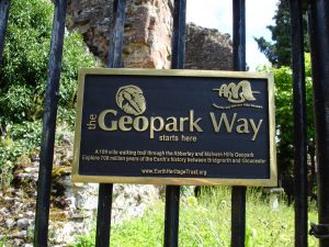
Many walks across the Geopark landscape are incorporated in the Geopark Way – a 109 mile walking trail from Bridgnorth to Gloucester.
It covers some spectacular scenery such as the valleys of the Rivers Severn and Teme, the Forest of Wyre, the Abberley Hills, the Suckley Hills, the Malvern Hills, and the Ledbury Hills. The Geopark Way booklet is available at lots of outlets and can be ordered via the website. Also there is a set of apps produced by BrooksDesigns that relate to the Abberley and Malvern Hills Geopark and the Geopark Way. The trail is divided into 17 sections to provide walks that can be comfortably achieved in a day.
A Geopark Way app has been produced for each section.
Another way of seeing the geology of the Geopark is by using the Les Morris Memorial Trail – a driving trail which looks at the vast store of our natural heritage tucked away in stone built walls. The leaflet can be picked up at various centres and is also free to download from the website.
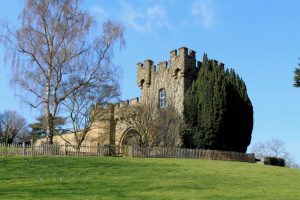
Other trails that look at the stones used in towns and heritage structures are available to explore. Some impressive building stones trails to consider are Worcester Cathedral, Worcester city centre, Hereford Cathedral, Gloucester, Bewdley town and Museum, Hartlebury Castle, Abberley village churches and Great Malvern. There is more information under ‘Explore Geology and Landscape – Walking Trails’.
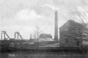
There are many places throughout the Geopark that are open to the public with free easy access. Inspiring scenery, wildlife, rocks and heritage can be found at places such as Comer Woods at Dudmaston, Severn Valley Country Park at Alveley and Highley, the Malvern Hills with the famous Iron Age British Camp, the valley of the River Wye around Ross on Wye and just outside the Forest of Dean, the Bromyard Downs and the nearby rivers Teme and Frome, and walks along the gorge-like River Severn between Bridgnorth and Stourport.
There are many smaller towns and villages worth a visit – Cleobury Mortimer and the nearby Clee Hills, Tenbury Wells, Ledbury, Stourport on Severn with its wonderful canal history, Tewkesbury with its abbey, Upton on Severn, Fownhope and Woolhope in the hills known as the Woolhope Dome, Newent and the nearby River Leadon, Upper Arley with its arboretum, Goodrich and its impressive castle, and Abberley with its ancient church.
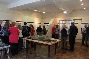
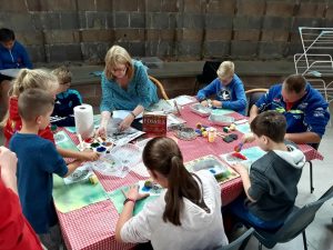
The year will again see GeoFest during the months of June, July and August when plenty of activities and events are programmed for people of all ages. There will be activities for children at Severn Valley Country Park, Bewdley Museum, Hartlebury Castle and Cob House.
